 |
 |
|
|
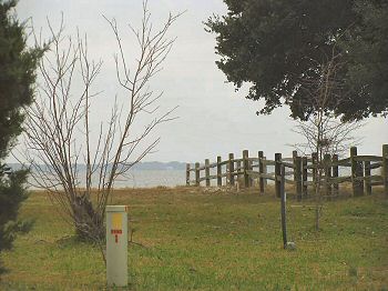
(12-2007) The Croatan Sound from site of Fort Bartow |
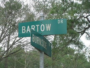
(12-2007) Intersection sign of Bartow Dr. and Burnside Rd. |
|
|
|
||
 |
 |
|
|
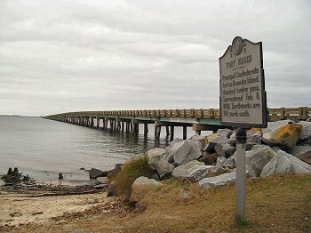
(12-2007) Close-up Fort Huger marker at the US-64 Bridge extending to the mainland |
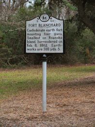
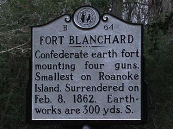
(12-2007) Fort Blanchard marker |
|
 |
 |
|
|
(12-2007) Fort Blanchard marker |
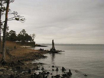
(12-2007) Enlarge View looking south into the Croatan Sound and Roanoke Island (left). It is here where Gen. Burnsides fleet chugged north to take Roanoke Island. Fort Hurger was in this area. The National Park Service has taken over the Fort Blanchard area for further study and it is off limits |