| Brice's Cross Roads
(2011) Page9 Photos/narratives courtesy of Steven Hippensteel, MS Please contact Webmaster for any use of these photos |
||
 |
 |
|
|
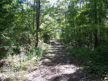
(2011) Ripley Road Leading Away
From White House Ridge |
(2011) Trail of Carnage Site. Dry Creek Crossing & Ames House Location Area: The Ames House is long gone and it's exact location is lost to history but it is believed by locals to be at or near this location situated on a ridge at Dry Creek Crossing overlooking the Tishomingo Valley. It was here that the true first shots of the battle of Brice's Cross Roads were exchanged about mid-morning on June 10 despite claims on the tablets located near the National Park site |
|
 |
 |
|
|
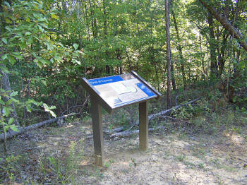
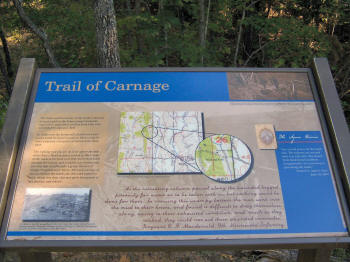
(2011) Trail of Carnage Interpretive Marker |
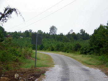
(2011) Hatchie Bottom (Rt. 158 Looking North West): This was an old wartime slough or creek bottom which was knee-deep in water and mud with log debris laying around. The fleeing Yankee artillery and wagons were bogged down and abandoned here. Yankees were perched on the logs like 'chickens at roost'...each one holding a candle above his head and calling out 'Don't shoot! Don't shoot!'. |
|
 |
 |
|
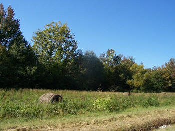
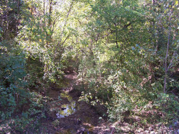
| (2011) Ames House Location Area | (2011) Dry Creek |