 |
 |
|
|
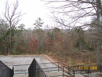
(December 2009) Enlarge Picture is from the Confederate line facing west toward the cemetery almost one mile away. The railroad and old road is to the right |
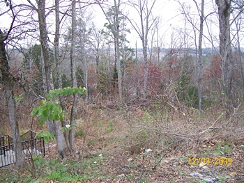
(December 2009) Enlarge Picture is from the same position, but showing the open fields just beyond the road and railroad |
|
|
|
||
 |
 |
|
|
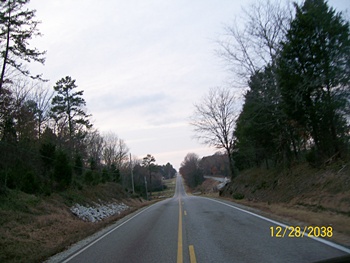
(December 2009) Enlarge Picture is from the center of the Confederate line looking west toward the Union line at the top of the hill. This road is the old Memphis Pike and the railroad is the old Charleston and Memphis line |
(December 2009) Enlarge Picture one is shows the Confederate right flank on the wooded ridge. The Memphis and Charleston Railroad is to the right of the picture |
|
 |
 |
|
|
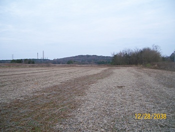
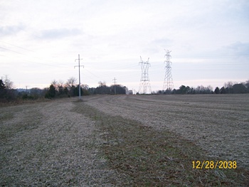
(December 2009) Enlarge Picture is from the same position facing west toward the Union line which would have been just past the large power lines. Barton cemetery is to the left of the road and railroad tracks at the top of the hill. |
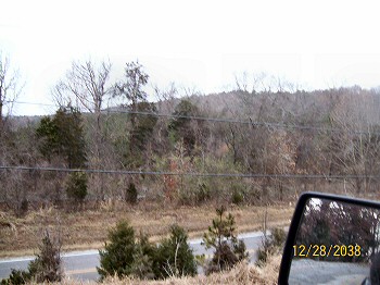
(December 2009) Enlarge Right flank of the Confederate line, looking north. One mile east of the cemetery |