| Battle of Perryville, Kentucky Page17 |
|
|
 |
|
 |
|
perry0041
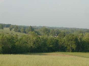
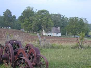
Looking north, at the H.P. Bottom House, from the hill between Loomis's Heights and Peters Hill. Doctor's Creek runs across the middle of the picture, from left to right. The sloping ground on the other side of Doctor's Creek reflects the ground defended by Lytle's Union Brigade against the concentrated efforts of Confederate brigades under Pat Cleburne and Bushrod
Johnson |
|
perry0044
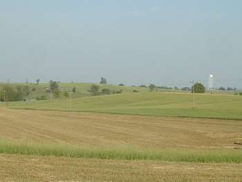
View to the east, towards the town of
Perryville, from the intermediate hill. The water tower is in Perryville
Dave Smith photo |
|
|
|
|
 |
|
 |
|
perry0045
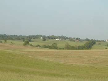
Looking more east
northeast than perry0045.jpg, this view shows ground that wasn't
particularly fought over during the battle
Dave Smith photo |
|
perry0048
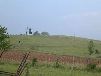
Looking due north, from
the northern bank of Doctor's Creek, towards the Lytle Union Brigade
position. It was over this ground that Adams's Confederate Brigade
flanked the Union right
Dave Smith photo |
|
|
|
|
 |
|
 |
|
perry0049
Again looking north, this time from the current-day barn at the H.P. Bottom House. The barn, during the battle, was located to the west of here. Slocumb's
Confederate Battery of the Washington Artillery located near here, after
Lytle's Union Brigade was pushed off of Loomis's Heights
Dave Smith photo |
|
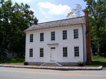
(2005) Brinton House.
Intersection of Highways 68 and 150
Constructed around 1840. Damaged during the battle when a cannonball
crashed through the roof and an interior door. Used as a hospital after
the battle
Chris Shelton photo |