|
(2008)
Enlarge
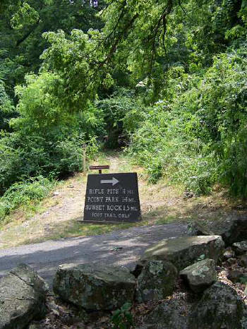
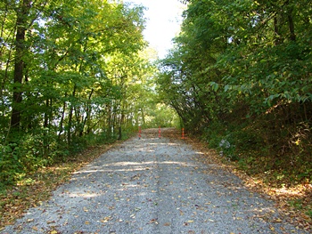
Road
cut on top of Lookout Mountain, Georgia side. Union campsite located nearby
William Cook photo |
|
(2009) Enlarge
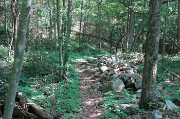
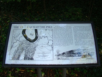
Old Wauhatchie Pike hiking trail
Old Wauhatchie Pike on Lookout Mountain reaches a dead-end at the parking
lot for this approximately one-mile trail. From the 1850s to the 1920s,
the road was the primary Lookout Mountain route into Chattanooga. It has
superb views of Moccasin Bend, the Tennessee River, and the cityscape of
Chattanooga. During the Battle for Chattanooga, this historic road was
controlled by Confederates; however, it became very vulnerable to Federal
fire, eventually making it virtually impassable. Denying the Confederates
full use of the turnpike and railroad was the most important contribution
made by the Federal forces stationed on Moccasin Bend during the fall of
1863
Downtown Chattanooga. I-24 to Exit 178 Lookout Mountain onto TN 58 towards
Lookout Mountain. Turn right on W 25th St. Travel 0.3 miles and turn left
on Broad Street. Bear right onto Cummings Hwy and turn left on TN 148
Scenic Highway. Follow signs to top of the mountain. The trail is listed
in the National Register of Historic Places
Paul Stanfield photo |
(2009) Enlarge
Old Wauhatchie Pike hiking trail
Paul Stanfield photo |
|
(2009) Enlarge
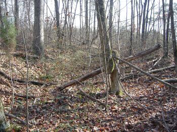
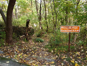
Whiteside Trail on Lookout Mountain
The Whiteside Pike, the Lookout Mountain Turnpike being its official name,
Whiteside being the principal owner and hence the use of that name for the
pike frequently, is on the east side of Lookout Mountain. It was the main
way up to the top of the mountain. It started near where the lower station
of the Incline Railroad is today. The lowest portion of it is Old Mountain
Road there near the lower station of the Incline. When Old Mountain Road
ends up-slope at one of the Incline trestles, the trace of the Lookout
Mountain Turnpike is followed today by the Whiteside Trail on the Lookout
Mountain Battlefield. Modern construction of Scenic Highway, Tenn. 148, at
the top of the mountain has destroyed the top 1000 feet or so of the
Turnpike but you can walk most of it as the Whiteside Trail
Paul Stanfield photo |
