|
(9-12) Enlarge
Close-up
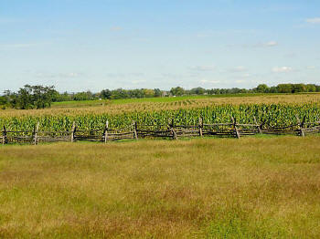
Looking north across
western section of the field
Photo courtesy of Alan M. Di Sciullo, Esq., Princeton Jct., NJ |
|
(9-12) Enlarge
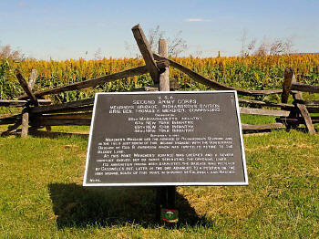
Meacher's Brigade marker, south end of the
field
Photo courtesy of Alan M. Di Sciullo, Esq., Princeton Jct., NJ |
|
(9-12) Enlarge
Close-up
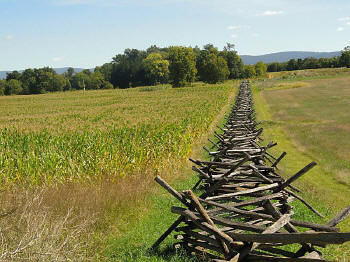
Looking east along the south fence. East Woods in background
Photo courtesy of Alan M. Di Sciullo, Esq., Princeton Jct., NJ |
|
(9-12) Enlarge
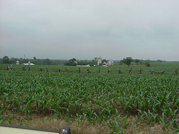
South end of the field near camera position
in previous photo
Photo courtesy of Alan M. Di Sciullo, Esq., Princeton Jct., NJ |
|
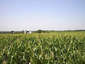
(6-02) Miller
Farm buildings from the corn field marker
Photo courtesy of Richard Edling, Philadelphia, PA |
|
(7-02) Another
view of the farm buildings |
|
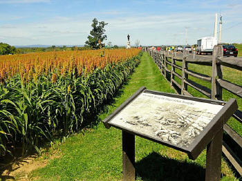
(9-12) Enlarge
Marker on west side of
Hagerstown Pike/Dunker Church Road, just south of Starke Ave, near
southwest corner of Miller's Cornfield. View looking north.
New Jersey and Indiana monuments in
background
Location of Confederate dead (Louisiana
Tigers) in famous photo taken by Alexander Gardner two days after the
battle
Photo courtesy of Alan M. Di Sciullo, Esq., Princeton Jct., NJ
 Aftermath
Along the Hagerstown Turnpike: Historical Marker Database Aftermath
Along the Hagerstown Turnpike: Historical Marker Database
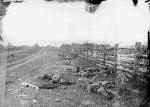
Enlarge Gardner photo |
|
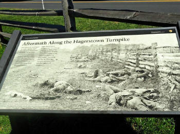
(9-12) Enlarge
Interpretive Marker in
previous photo
Photo courtesy of Alan M. Di Sciullo, Esq., Princeton Jct., NJ |


