 |
 |
|
|
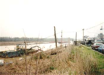
(3-95) Yazoo River diversion canal. North view near the junction of the canal with the Mississippi River. On April 26, 1876, the Mississippi cut through DeSoto Peninsula leaving Vicksburg without a harbor. In 1905 the U.S. Army Corps of Engineers completed the Yazoo River diversion canal project which diverted the Yazoo into the old bed of the Mississippi forming a new harbor for Vicksburg |
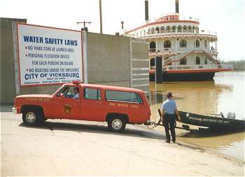
(3-97) Vicksburg Fire Chief Doris Sprouse (now retired) pulling a small flat-bottomed boat from the Yazoo River diversion canal. Several photos of the Vicksburg waterfront and Fort Hill were taken from the boat. A Special Thank-you to Chief Sprouse for his guided tour |
|
 |
 |
|
|
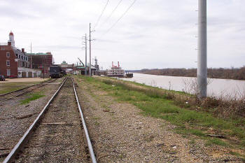
(3-05) Enlarge Wartime Vicksburg landing |
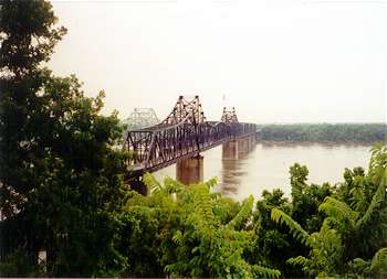
(6-98) Vicksburg's Old US-80 Bridge
(railroad use only). The view is
looking toward the Louisiana side of the river |
|
 |
 |
|
|
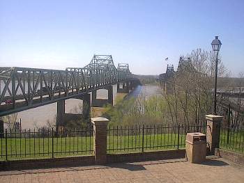
(3-02) The I-20 and Old US-80 (right) bridges over the Mississippi River. The view is from the Vicksburg Welcome Center |
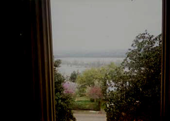
(3-97) West view from 2nd floor of Old Court House Museum. The Mississippi River was at a high level and had backed-up into it's old 1863 bed. This view is similar to what it would have been during the war |
|
 |
 |
|
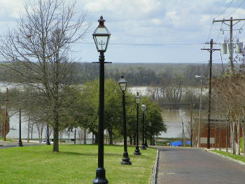
| (3-2011) Enlarge Main Street |
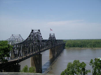
(2006)
Enlarge The Vicksburg Bridges Richard Edling photo |