| Champion Hill Home |
| Civil War Album Home |
| Return to Yazoo Pass - Siege of Vicksburg |
 |
||||||
|
|
||||||
|
Area Map | |||||
 |
 |
|
|
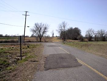
Junction of Lancaster and Airplane Road. The picture was taken on the Lancaster Road. The dirt trail that continues from the intersection marks the path of the wartime Jackson Road taken by the Union Army Locate on Map |
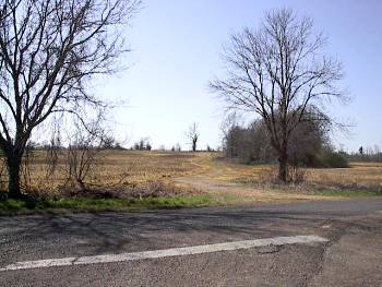
Close-up of previous photo showing the trace of the wartime Jackson Road. This path eventually intersects the Raymond-Bolton Road as it continues toward Edwards |
|
 |
 |
|
|
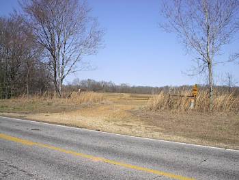
Wartime Jackson
Road looking eastward from the Raymond-Bolton Road
Locate on Map
|
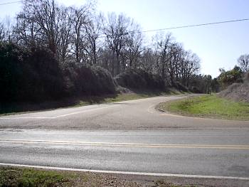
Junction of the
Raymond-Bolton Road and Middle Road (present-day Houston
Road). The road running left to right is the Raymond-Bolton Road.
Elements of McClernand's Corps camped here
on the night of May 15 |
| Dawn Page1 Page2 Page3 Page4 Page5 Next |
 |