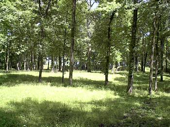
Shiloh Indian Mounds
 |
| (3-04) Enlarge Webmaster |
 |
 |
|
|
(2012) Enlarge Shiloh Indian Mounds (National Historic Landmark)
|
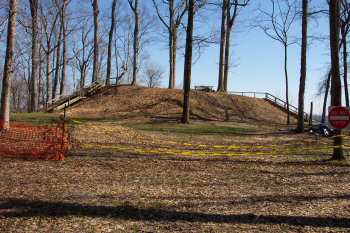
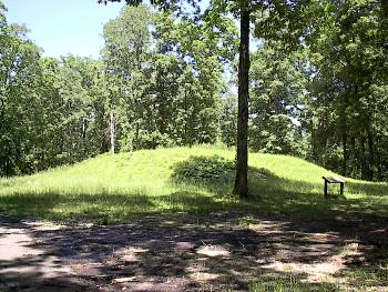
(3-04)
Enlarge The largest of the Indian Mounds
at Shiloh National Military Park. This mound offers the best view of the
river at Pittsburg Landing and is
probably from where Forrest observed the Federals being
reinforced from across the Tennessee River, late evening, April 6, 1862 |
|
 |
 |
|
|
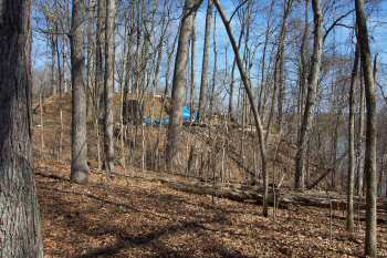
(3-04)
Enlarge Another
view of the mound in previous photo with the Tennessee River in the
background |
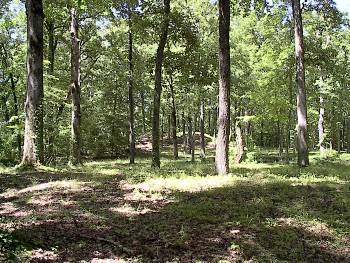
(3-04)
Enlarge
View of mound in previous photo from across the Tennessee River. Mouth of
Dill Branch at center of picture |
|
 |
 |
|
|
(5-03) Brian Risher |
(5-03) Brian Risher |
|
 |
 |
|
|
(5-03) Brian Risher |
(5-03) Brian Risher |
Return to Shiloh, a Virtual Tour
![]()