 |
 |
|
|
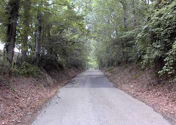
(5-00) Enlarge East view of the wartime Port Hudson-Plains Road approximately 1 mile west of US-61. The road was the route of one of the major Union assaults on May 27th |
(3-94) Port Hudson-Plains Road approximately 0.25 mile west of US-61. Earthworks at the main entrance into Port Hudson. View looking north |
|
 |
 |
|
|
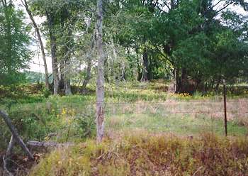
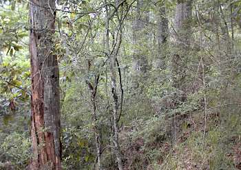
(5-00) Enlarge Port Hudson-Plains Road approximately 0.6 mile west of US-61. Northwest view of Confederate field hospital site. The ravine was described by a captured Union officer as being the hospital's location |
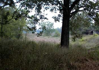
(5-00) Enlarge Intersection of Port Hudson-Plains Road and Port Hickey Road. West view of a post-siege Union earthwork. Approximately 100 yards beyond is the site of the old railroad depot and the hotel used by Confederate General Gardner as his headquarters |
|
 |
 |
|
|
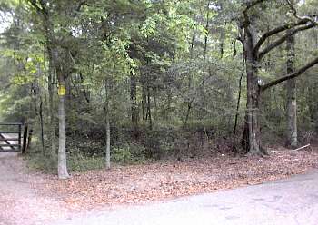
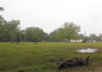
(5-00) Enlarge Old Port Hudson town site. Approximately 0.5 mile north of the Port Hudson-Plains Road and Port Hickey Road intersection |
(5-00) Enlarge The bluff overlooking the former bed of the Mississippi River which changed course after the Civil War. Remains of the River Batteries are on private property. Port Hickey road (top right) runs parallel to the bluff at this point |