| Battle of Pilot Knob and Fort Davidson Page2 | ||
 |
 |
|
|
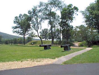
Entrance to Fort Davidson, view looking
southeast. This is not the original entrance (drawbridge), it was on the
east side. This is the approximate position of the north rifle pits (190
yards) near the entrance which was accessible by sally ports |
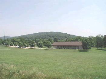
Visitor Center from Fort Davidson, view looking east. Rock Mountain in the background
|
|
 |
 |
|
|
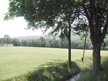
Moat. View looking
south toward southern side of Sheppard Mountain. Creek is in the distance
behind the tree line. This is also the direction from which the
Confederates attacked |
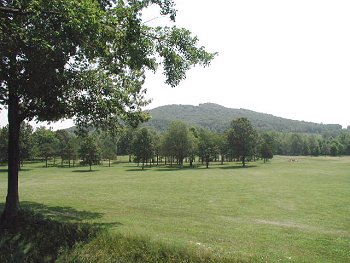
View looking east, the direction from which Gen. Fagan enveloped and attacked the fort. The moat is in the foreground |