 |
|
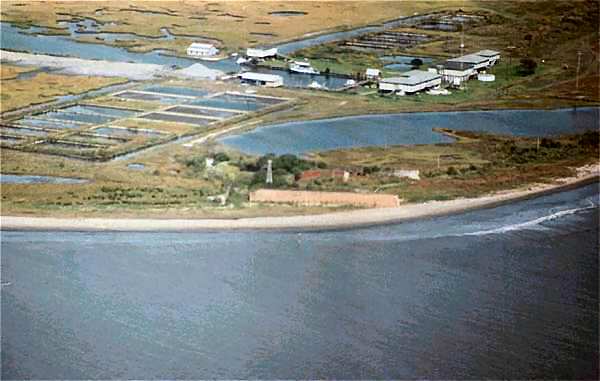
Ft. Livingston was built after the war of 1812. Its claim to fame is that it is built over a fort constructed by Jean Lafitte. That's right, it was his Island Grand Terre. The fort protects the entrance to Barataria Bay. Bayou Barataria runs from the Mississippi River near Harvey, La, (just above Canal St. in New Orleans) on the west bank, Lafitte's highway to the city. Like all the forts in this area (with the exception of Jackson & St. Phillip) it never was attacked, or fired a shot in anger, but it was part of the New Orleans defenses and was used by both sides during the Civil War. The fort is in a state of ruin from many years of neglect. As you can see from the photos it sits right on the Gulf (next stop Cuba). The south wall went down in 1965 during hurricane Betsy. These photos were taken a week after Hurricane Andrew. There was a landing strip on the windward side in front of the fort, but as you can see it was washed away during Andrew. |