| Atlanta Campaign Home |
| Civil War Album Home |
 |
 |
|
|
(10-02)
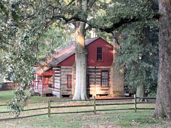
Kolb Farm house - view to the west |
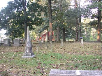
(10-02) Kolb family cemetery, farmhouse in background. Facing west |
|
 |
 |
|
|
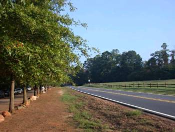
(10-02) North of Kolb's Farm on Cheatham Hill Road |
(10-02) Facing north
toward Sherman's Command Post along Cheatham Hill Road near Cheatham's
Hill. The Federal attack was from left to right. The Dead Angle is half
a mile to the right (east) |
